Fall Colors Near Colorado Springs, Where Locals Actually Go for Aspen Season
Things To Do Iris Burton August 25, 2026
Things To Do Iris Burton August 25, 2026
Here are 10 real hikes, organized by how much of a workout you want, plus a bonus section for anyone who would rather drive or ride the rails instead. Think of this as the official kickoff to fall around here, September is right around the corner, and this is where I would start planning.
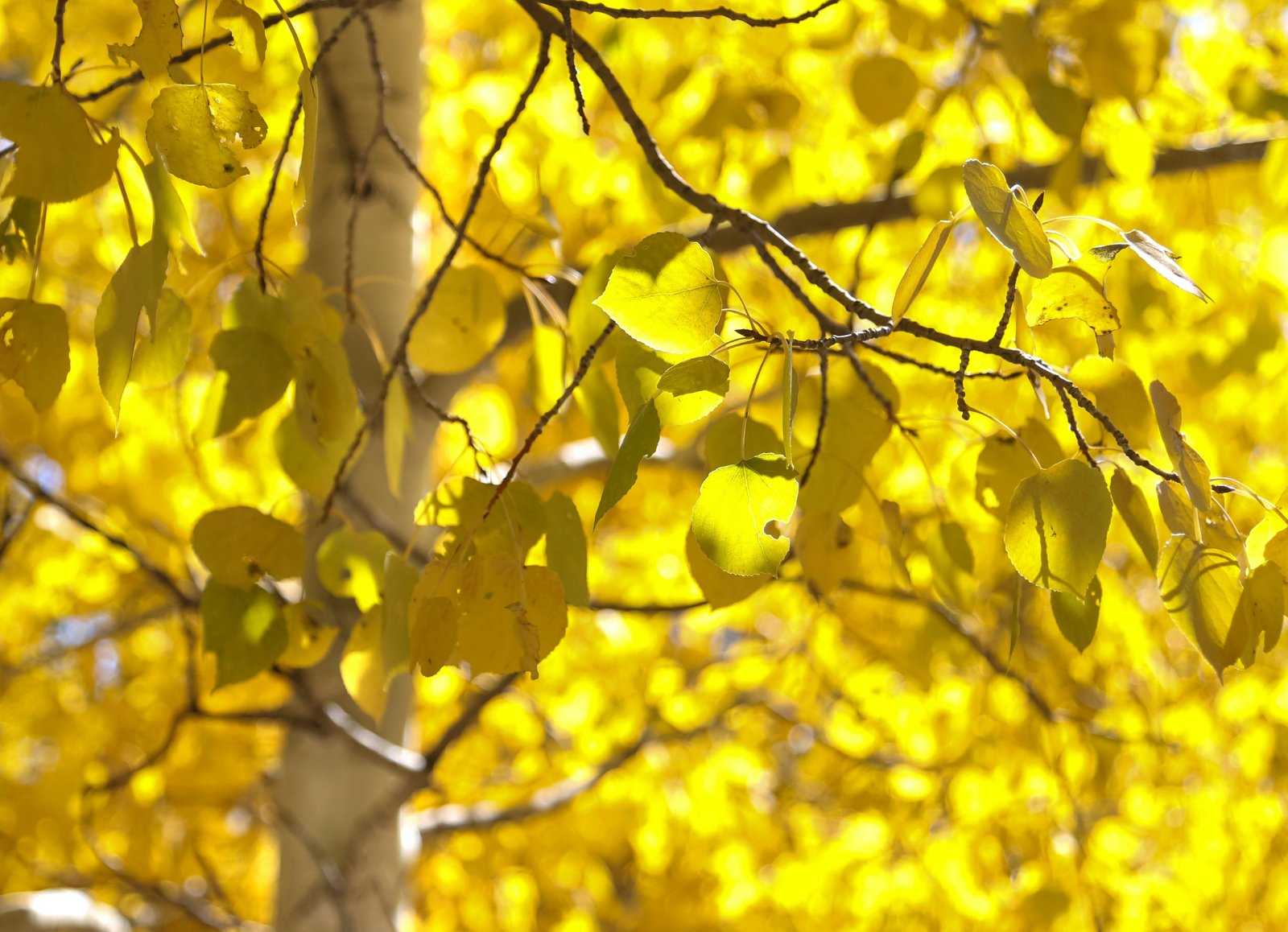
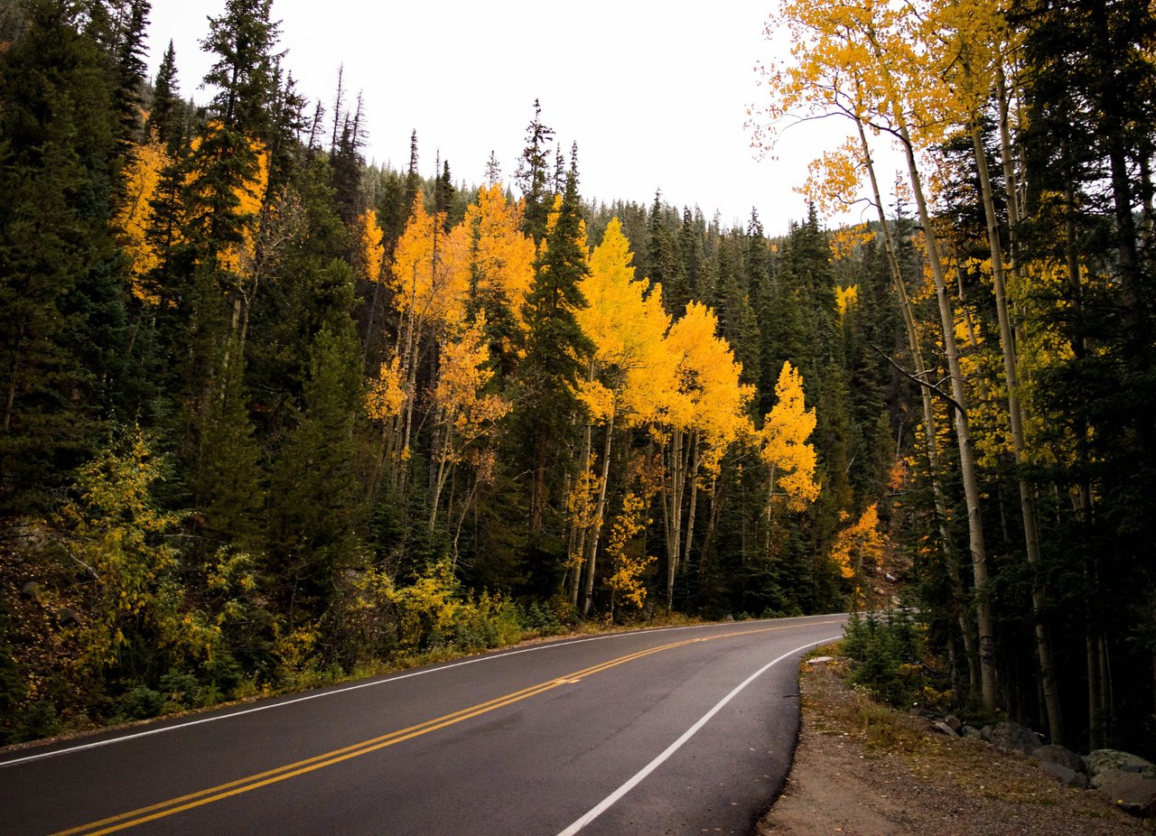
Timing is everything with aspens, and it depends heavily on elevation. Higher elevation groves, above 9,000 feet, tend to turn first, usually mid to late September, and can lose their color within a few weeks. Lower elevation spots closer to town generally peak a little later, often stretching into the first week or two of October.
Good to know: Peak color shifts every year depending on weather, and a single windy day or early snow can end the show fast. Check a current fall foliage tracker the week you are planning to go rather than relying on a fixed date.
Good for a quick outing, a first date with hiking, or anyone who just wants the color without the climb.
Where: North Cheyenne Cañon Park, in town
Route: Out and back, crossing Cheyenne Creek on seven small wooden bridges
Distance: Roughly 3 to 6 miles round trip depending on how far up you go, easy to shorten or extend
How to Get There: From I-25 take exit 140, head south on Tejon St, then right onto Cheyenne Blvd, which becomes W Cheyenne Cañon Rd. The Starsmore Discovery Center is on the left about 2.5 miles in, and trail signs point the way from there.
A creekside walk that stays shaded most of the way, with aspen color showing up along the banks well before you reach the higher groves. Easy to turn around early if you are hiking with kids or just want a shorter outing.
Where: North Cheyenne Cañon Park, in town
Route: One way trail paralleling N Cheyenne Cañon Rd up to the summit
Distance: 1.88 miles round trip, 588 feet of elevation gain
How to Get There: Travel about 0.35 miles south from I-25 at the S Nevada St exit, turn west on W Cheyenne Blvd, continue 2.75 miles to N Cheyenne Cañon Rd, turn right past the iron gate, and the trailhead is 1.5 miles up on the left
Short, sweet, and genuinely scenic, with views over Stratton Open Space, Seven Falls, and the Will Rogers Shrine along the way. A good pick if you want a real payoff without committing to a long hike.
Where: Near Woodland Park
Route: Out and back along a small creek, ending at the reservoir shoreline
Distance: About 2.6 miles round trip
How to Get There: Take US 24 west to Woodland Park, turn onto Baldwin Rd at the light by McDonald's, which becomes Rampart Range Road, and follow signs to Rampart Reservoir, the trailhead is well marked
A gentle stroll through aspen and pine that follows a small creek down to the reservoir, with Pikes Peak often visible along the way. Genuinely one of the easiest true aspen hikes on this list.
Where: Runs north to south through the heart of Colorado Springs, connecting to Palmer Lake
Route: Point to point, mostly paved, following an old rail corridor and Monument Creek
Distance: Over 30 miles combined if you did the whole thing, but any short section works, most people just walk or bike a mile or two
How to Get There: Access points all along the route, including Monument Valley Park, America the Beautiful Park, and near the Air Force Academy off Woodmen Rd
This is less a destination hike and more a flat, paved option for anyone who wants fall color without any real elevation gain. Good for strollers, bikes, or a casual evening walk.
Real hikes with a real payoff, manageable for most fitness levels without needing to train for it.
Where: North Cheyenne Cañon Park, in town
Route: Point to point, can be hiked from the Lower, Mid, or Upper trailhead depending on how much distance you want
Distance: About 4 miles one way from the Starsmore Discovery Center to Helen Hunt Falls, up to 8 miles round trip from the lower trailhead
How to Get There: Same access as Seven Bridges, via the Starsmore Discovery Center off W Cheyenne Cañon Rd. Choose the Mid or Upper trailhead further up the canyon road for a shorter hike.
This is probably the single best way to experience the canyon's fall color end to end. The creekside flora along the lower section turns early, splashing yellow and orange across the forest floor well before the higher elevation trees catch up.
Where: North Cheyenne Cañon Park, via Upper Gold Camp Road
Route: Out and back, following Buffalo Canyon Creek to the falls
Distance: About 6 miles round trip, roughly 1,200 to 1,400 feet of elevation gain
How to Get There: From I-25 at the S Nevada St exit, head west on W Cheyenne Blvd for 2.75 miles to N Cheyenne Cañon Rd, turn right past the iron gate, and continue 3 miles to the gravel lot at the end of the road, the trail starts at the closed gate onto Upper Gold Camp Road
One of the more popular waterfall hikes in the canyon, walking over a closed railroad tunnel before following the creek up through pine and golden aspen to the falls. Shares a trailhead with Seven Bridges, so parking can be tight on weekends.
Where: Near Divide
Route: Out and back to a dramatic cluster of granite rock formations
Distance: About 4.4 miles round trip
How to Get There: Take US 24 west through Woodland Park to Divide, turn south on CO 67, drive about 4 miles, then turn onto Forest Service Road 383 to the trailhead
Aspen color lines much of the approach before the trail opens up to the rock formations themselves. Gets busy on weekends once color peaks, so a weekday visit is worth the extra planning if your schedule allows it.
Where: Near Cripple Creek, west side of Pikes Peak
Route: Out and back, with side trips available to Horsethief Falls or Pancake Rocks
Distance: About 2.6 miles round trip to the falls alone, up to 8 miles round trip if you explore the full Horsethief Park meadows
How to Get There: Take US 24 west to Divide, turn south on CO 67, and drive about 8 to 9 miles until you reach a closed railroad tunnel. Park on the south side.
A flexible option since you can turn it into a short waterfall walk or a longer wander through open meadows scattered with aspen beneath Sentinel Point. Good one for a group where everyone wants a different distance.
Where: About 35 minutes west, near Divide
Route: Over 55 miles of interconnected trails to choose from, easy to moderate depending on which you pick
Distance: Half day to full day, this one rewards taking your time
How to Get There: 10 dollars per vehicle for a daily park pass, no reservation needed for day use
This one is already on our Top 25 guide for its wildlife and hiking, but it earns a separate mention here for a different reason. Mueller sits high enough that its aspen groves are often some of the very first in the area to turn, sometimes weeks ahead of in town spots. Visit in the early part of the season and you may catch both the color and the elk rut at the same time, which makes for a genuinely memorable evening if your timing lines up.
Iris Insight 💡
I tell relocation clients all the time, fall might actually be my favorite season to show homes here. The light is incredible, the crowds thin out, and there is something about aspen gold against a Colorado blue sky that makes people fall in love with a neighborhood a little faster.
For anyone who wants the view badly enough to earn it. Bring more water than you think you need.
Where: Cheyenne Mountain State Park, in town
Route: Combine the Talon Trail, Dixon Trail, and Mountain Loop or Dragon's Backbone, all well marked
Distance: Varies by combination, plan for the better part of a half day
How to Get There: From CO 115 south, turn right on JL Ranch Heights Rd, directly across from Fort Carson, into the park. Park at the Limekiln lot. A day pass runs 10 dollars per vehicle.
The reward here is the overlook at Robber's Roost, with sweeping views over the city and genuinely good aspen color mixed into the climb. Dogs are allowed on designated trails only, and that does not include the trails up the mountain.
Bonus, For Anyone Who Would Rather Not Hike
Same gold, no trail required. A scenic drive or a train ride gets you just as much color with a lot less effort.
Where: West Colorado Springs, running out toward Victor
Route: Scenic drive along a former railroad grade, passing through several old rail tunnels
Distance: About 26 miles one way if driven in full, though most people just drive a shorter out and back section
How to Get There: Take Old Stage Road near The Broadmoor, which turns into Gold Camp Road as you head into the canyon
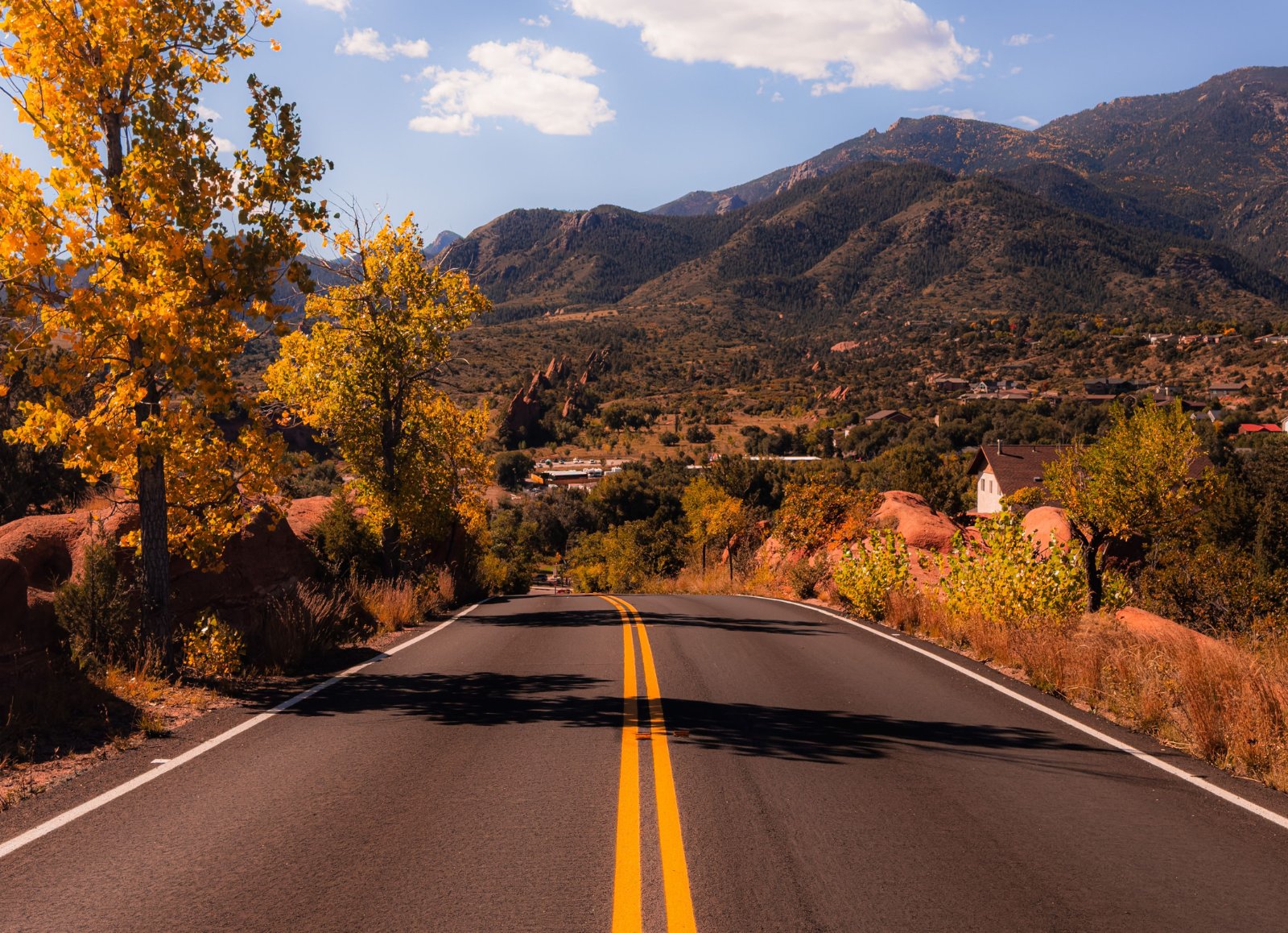
One of the most iconic fall drives locally, with aspen and cottonwood color along a steep, winding route. This is a genuinely rough dirt road though, a 4 wheel drive vehicle with good brakes is strongly recommended, and it is not a good fit for small cars or trailers.
Where: About 1 hour southwest of Colorado Springs
Route: Scenic paved drive through two historic gold rush towns
Distance: Full day round trip with stops
How to Get There: Take US 24 west through Woodland Park to Divide, then head south on CO 67 into Cripple Creek, continuing on to Victor
The drive takes you along the flanks of Pikes Peak, with aspen groves catching the light most of the way. Pair it with lunch in one of the historic downtowns and you have an entire day built around a single drive.
Where: Manitou Springs, about 15 minutes from downtown Colorado Springs
Route: Round trip cog railway climbing 9 miles up the eastern slope of Pikes Peak to the 14,115 foot summit
Distance: About 3 to 3.5 hours round trip
How to Get There: The Cog Railway Depot sits in Manitou Springs, with limited on site parking, a free shuttle also runs through town and stops at the depot
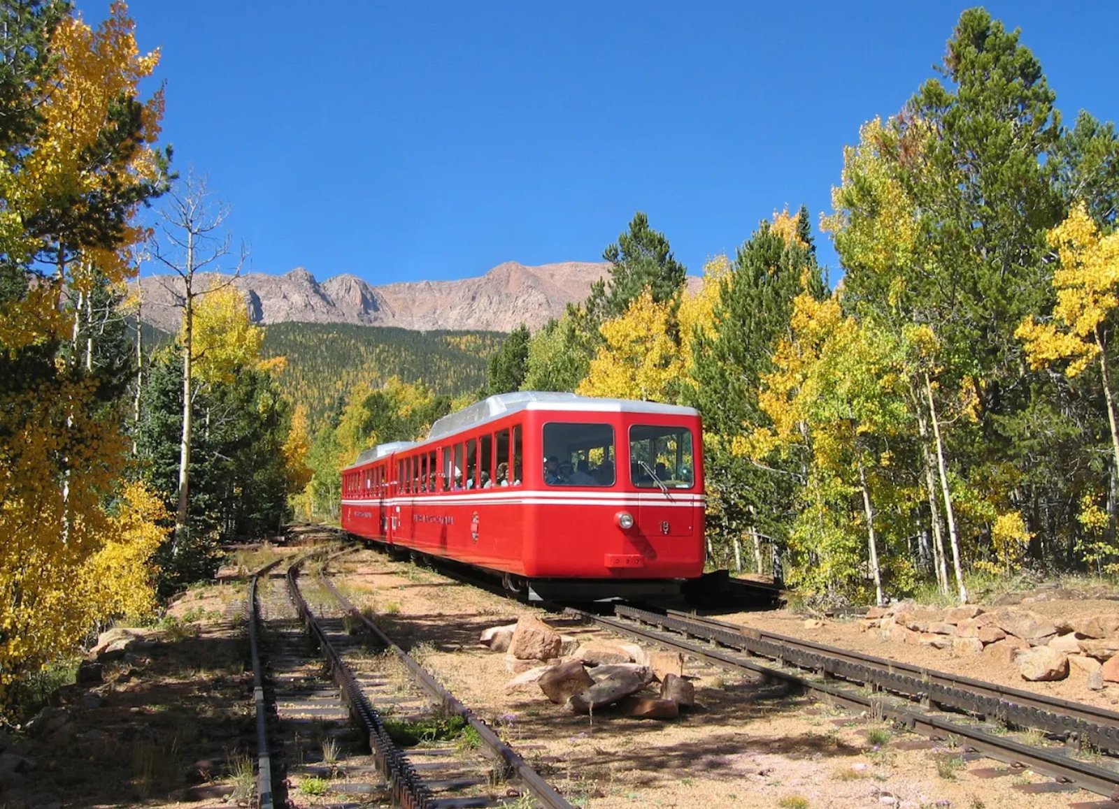
This is a different kind of fall ride entirely, since it climbs through the color rather than just alongside it. The route winds through Pike National Forest, where Rocky Mountain maples and aspen turn gold and red against dark green pine, with elk, deer, and bighorn sheep frequently spotted along the way. Keep climbing and the forest eventually gives way to alpine tundra above the treeline, meaning one ride takes you through fall color and full on winter conditions at the summit within the same afternoon.
Good to know: This is one of the more popular fall foliage train rides in the country, so seats sell out fast, the operator recommends booking at least two weeks ahead, and sooner for late September weekends. The summit runs far colder than the base, so layers are worth packing even on a warm day in town.
Where: Santa Fe Depot, Cañon City, about 45 minutes southwest of Colorado Springs
Route: Round trip scenic rail journey through the Royal Gorge along the Arkansas River
Distance: About 2 hours round trip
How to Get There: Take I-25 south to US 50 west into Cañon City, following signs to the Santa Fe Depot at 401 Water St
This one is a different flavor of fall entirely. Rather than high country aspen groves, you get granite canyon walls rising over 1,000 feet alongside the Arkansas River, with riverside cottonwoods and canyon vegetation turning gold well into October. Coach, deluxe, vista dome, and dining car options are all available, and the open air car tends to be the favorite for photos when weather allows it.
Good to know: There is no separate fall foliage ticket, you simply book the regular seasonal schedule, but trains do sell out on October weekends, so booking ahead matters more this time of year. Pricing varies by class, coach runs lower, dome and dining service run noticeably higher.
Aspen season here does not last long, which is exactly why locals treat it the way they do, with actual plans instead of good intentions. Whether you have an hour for an easy trail or a full day for the drive to Cripple Creek, this is one of those windows where getting outside genuinely pays off.
If a fall like this sounds like something you would want every year, not just visit once, I would love to help you find your place here. Reach out anytime.
Stay up to date on the latest real estate trends.
Things To Do
10 real hikes for golden aspens, plus a few bonus ways to see it without the climb
Things To Do
From quick stops to full day adventures, everything you need to plan your visit

Restaurant & Food
The best spots for a slow morning in the 719

Things To Do
What the start of the school year actually feels like in Colorado Springs
Community & Culture
A look at what Olympic City USA actually means for the people who call Colorado Springs home
Things To Do
How locals stay cool without missing a beat of summer in the 719

Food
What the arrival of one of the country's fastest-growing beverage brands says about Colorado Springs.

Things To Do
Fireworks, Family Traditions, and the Best Ways to Celebrate America's 250th Birthday in the Pikes Peak Region
Neighborhoods
Why Buyers Are Paying Attention to This Emerging East Side Neighborhood
A dedicated real estate professional committed to making every step of your property journey seamless and rewarding. With strong market insight, personalized strategies, and a client-focused approach, each transaction is handled with care, precision, and integrity. Whether buying, selling, or investing, you can expect clear guidance, thoughtful advice, and results that align with your goals.
Iris Burton | Living The Springs
102 S Tejon St #1100 Colorado Springs, CO 80903